
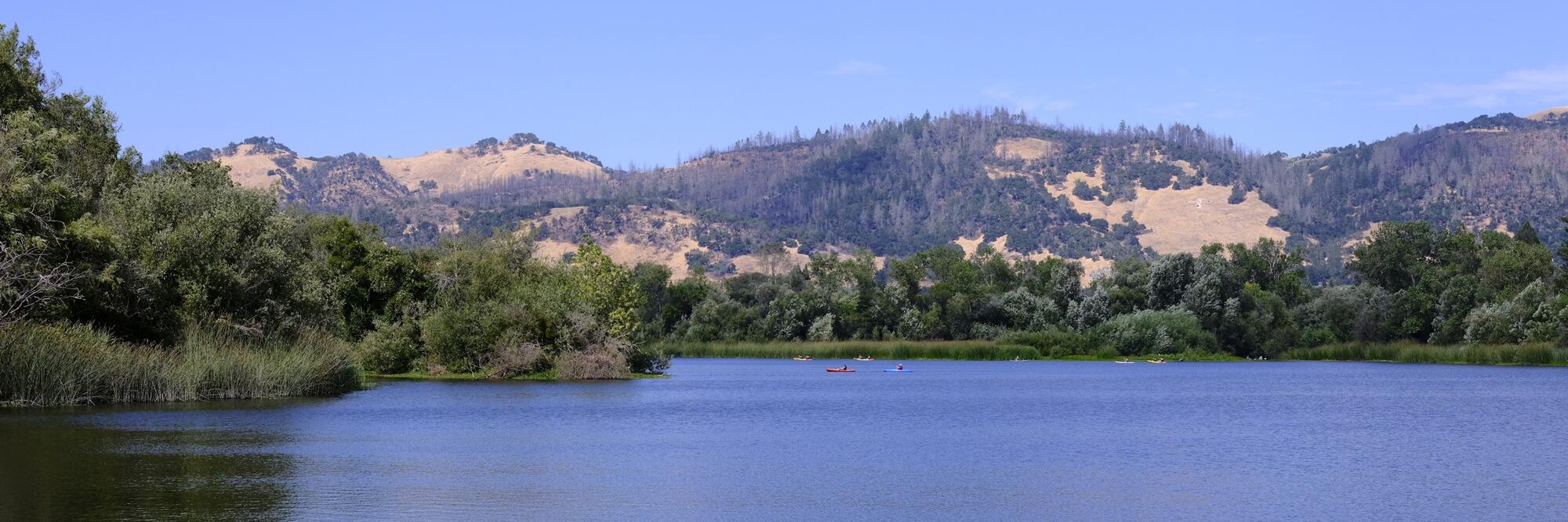
Getting around Santa Rosa usually means driving. As the largest city in Sonoma County and a hub of California’s Wine Country, Santa Rosa is a spread-out, low-density place, and a car is still the fastest way to reach work or the vineyards beyond the city limits.
Public transport is better than it once was. Two agencies run the local and regional buses, and SMART, the North Bay’s commuter rail line, carries passengers south to Larkspur, where they transfer to a Golden Gate Ferry into San Francisco. Cyclists have more to work with than they used to, after a run of new bicycle lanes and the arrival of an e-bike share scheme at the train stations.
Public transport in Santa Rosa
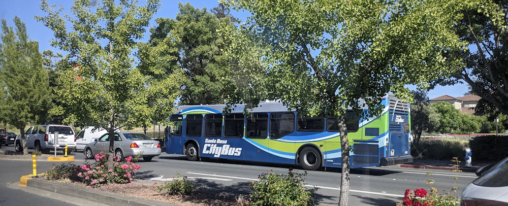
At the heart of public transport in Santa Rosa is the downtown Transit Mall, where riders change between the buses and the SMART train. There are two operators who run the buses. Santa Rosa CityBus handles trips inside the city, and Sonoma County Transit extends to the towns and open country beyond it.
Most riders pay with a Clipper card, the Bay Area’s tap-and-go fare card, good on every bus and on the train. Residents who live near downtown or one of the two SMART stations can probably get by day to day without a car.
Buses
Santa Rosa CityBus runs more than 15 fixed routes across the city, and riders can change between almost all of them at the downtown Transit Mall. On weekdays and Saturdays, buses run from early morning until mid-evening. Sunday hours are shorter. Every bus has a front rack with room for two bikes at no extra charge, so riders can travel part of the way and cycle the rest. Fares are quite low, and commuters under 18 ride free.
Sonoma County Transit covers the ground beyond the city limits. It runs to Sebastopol, Petaluma, Healdsburg, and the Russian River towns, and even reaches out to the Sonoma Coast. For trips south into Marin County and San Francisco, Golden Gate Transit also stops at the Transit Mall, and Mendocino Transit heads north up the coast.
SMART train
The SMART train is Santa Rosa’s one rail line, and it's a potential alternative to a slog down Highway 101. The train's 48-mile (77km) route runs down the middle of Sonoma County and into Marin, between Windsor, just north of the city, and Larkspur on San Francisco Bay. At Larkspur, riders can get straight onto a Golden Gate Ferry for the final leg into the city, so a car-free commute from Santa Rosa to San Francisco is possible, though it may not be the fastest option.
Santa Rosa has two stations on the line. The Downtown station at Railroad Square is a short walk from the city centre, and the Santa Rosa North station is on Guerneville Road. A third station is just over a mile (2km) north, next to Charles M. Schulz Sonoma County Airport. CityBus meets the trains at the downtown station throughout the day, so riders can switch from bus to rail without a long wait. SMART has been extending the line north in stages, and the operator aims to reach Healdsburg by 2030.
Useful links
Taxis in Santa Rosa
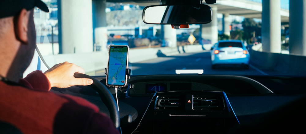
Uber and Lyft have largely taken over from taxis in Santa Rosa, and most residents open one of the two apps first. Drivers usually turn up within a few minutes for a trip across town or out to the airport. Coverage is reliable in the built-up parts of the city. Out in the rural stretches of the county late at night, the wait can be longer and the fare higher.
Traditional metered taxis are still around at the airport and the larger hotels, and a handful of local firms take phone bookings for anyone who would rather book a car ahead of time. Fares are the usual flag-drop-plus-mileage, and drivers take cards. Lots of residents will book a car and driver for a night out in the wine country, since tasting rooms and restaurants can be a fair drive apart, and mobile signal out in the vines can be spotty.
Useful links
Driving in Santa Rosa
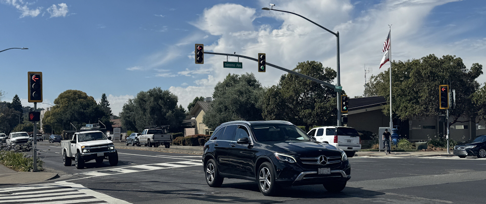
Most residents get around by car, and driving in Santa Rosa is easy enough on the main roads. Highway 101 is the main artery, a north-south road through the middle of town. Marin and the Golden Gate Bridge are to the south, and Healdsburg and the upper county are to the north.
State Route 12 is the main east-west route between Sonoma Valley and Sebastopol. Traffic is light by Bay Area standards, but rush hour queues on the 101 are a fact of Santa Rosa life. Downtown parking is easy to find and cheap by California standards, and it’s free almost everywhere else in the city.
Driver’s licences
A California driver’s licence is one of the first things to sort out after your move to Santa Rosa. New residents have just 10 days to apply after they have established residency. Drivers who already hold a valid licence from another US state can skip the behind-the-wheel road test and take only a vision check and the California written exam. The DMV takes the old licence, issues a temporary paper one, and mails the plastic card a few weeks later.
International arrivals usually have to go through the full licensing process. That means the written exam and, in most cases, the road test as well. Licence holders from a few countries and territories can skip the road test. These include Taiwan, some German states, and certain Canadian provinces and Mexican states. Most other international arrivals should prepare for a road test.
Anyone bringing a car into the state has 20 days to register it once they’re a resident. The DMV will require a smog test for most vehicles, VIN verification, proof of California insurance, and the out-of-state title. A REAL ID licence is now required to board a domestic flight within the US, so frequent flyers should ask for the REAL ID version when applying.
Useful links
Cycling and walking in Santa Rosa
The city has added bicycle lanes and paths steadily in recent years, and cycling and walking in Santa Rosa is easier than it used to be. Riders now have separated cycle tracks on a few streets, dozens of miles of painted bike lanes, signed routes on quieter roads, and a growing set of car-free trails across town.
Redwood Bikeshare, the city’s e-bike share scheme, is on hand for anyone without a bike of their own. Most hubs are around downtown and the SMART stations, and the city has added more in the parks and outer neighbourhoods since the launch. Riders unlock a bike with a smartphone app and return it to any hub.
On foot, downtown and the older neighbourhoods around it are flat and walkable, and the creek paths are pleasant for a stroll. Further out, though, walking is slow going. The blocks are long and the arterial roads wide, so it is better as a weekend adventure than a daily commute.